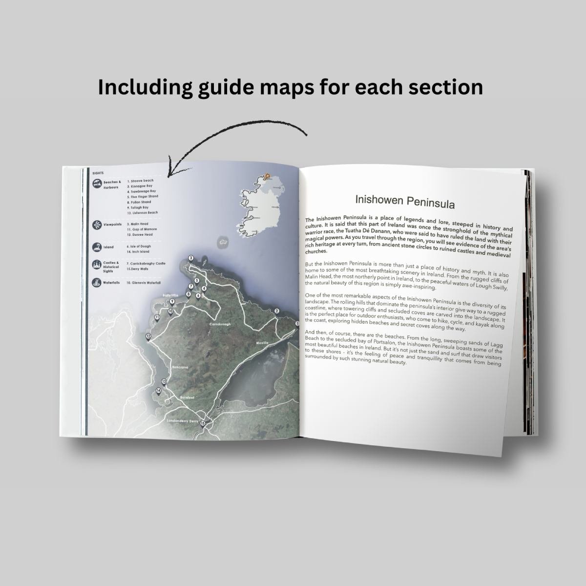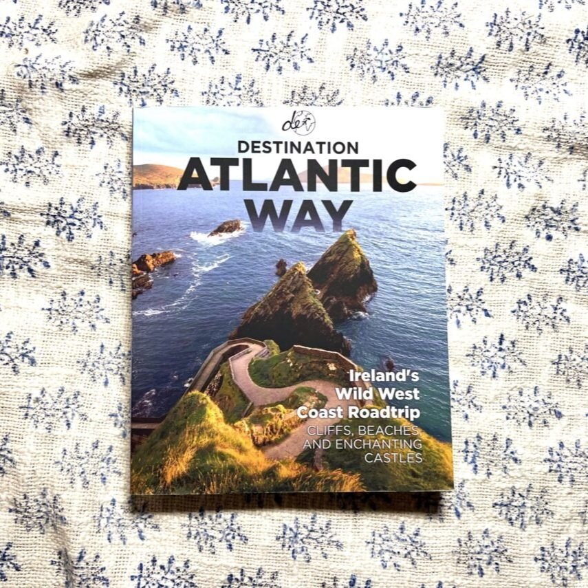


Wild Atlantic Way Road Trip Map - Detailed A1 WAW Route Planner
✅ Exact Locations: All of the exact locations of over 150+ Sights and Attractions, as well as Accommodation, Restaurants, Campervan Water and Waste Facilities, Electric Vehicle Charging Points, Train Stations, Airports, and much more!
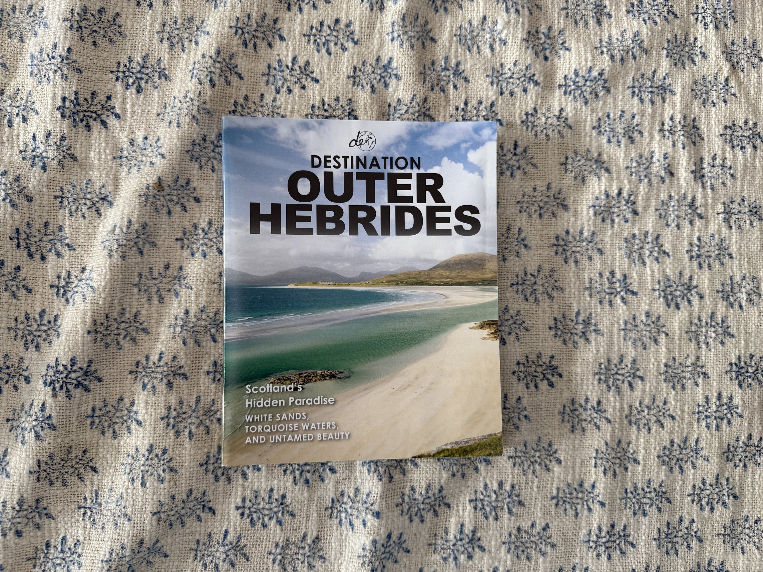
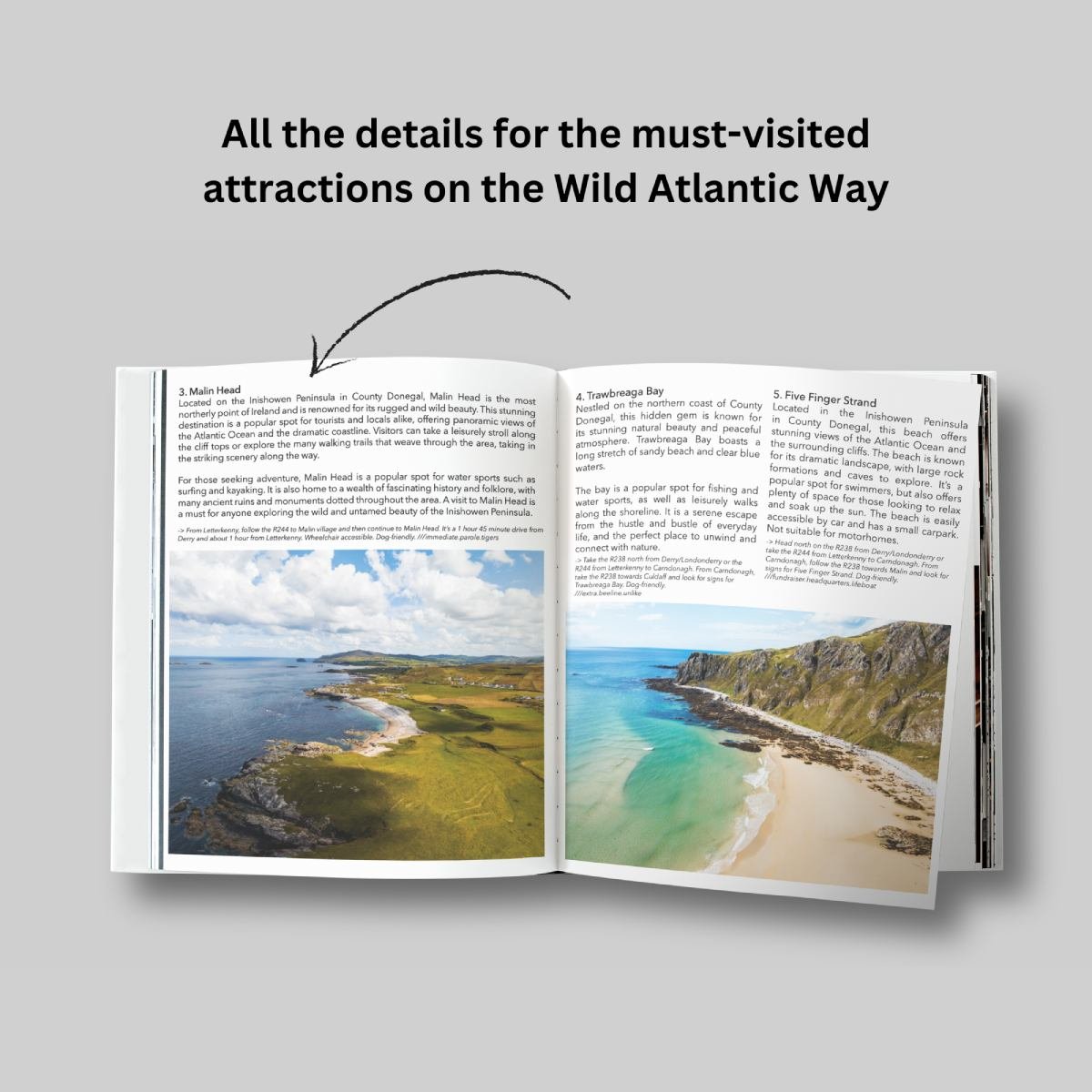
✅ Must-know Details: Directions to over 150+ sights and attractions across the northern coast of Scotland. Know exactly how to reach each of Scotland’s most beautiful attractions.
✅ Simple Design and Informative Layout: Plan your trip with this large and portable A1 folded map, containing all of the information that you need to know about the WAW road trip.
✅ Produced with care: During the production of this map, the authors spent years living on the Wild Atlantic Way route, turning over every rock and leaf to ensure that all the best-hidden sights and attractions that the WAW has to offer are included.
✅FREE Electronic Version: Scan the QR code inside for the FREE electronic version of the map, making navigation easy and stress-free.
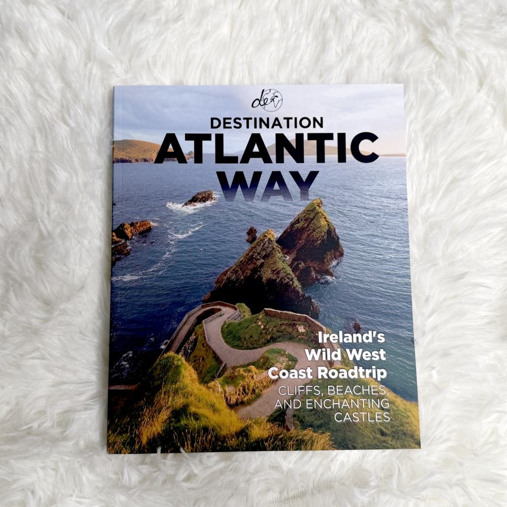
✅ Perfectly Paired with Destination Atlantic Way: Pair this detailed map with the Destination Atlantic Way guidebook to make your Wild Atlantic Way journey as easy as it can be.
All researched, written, photographed, printed, and delivered with love by us ❤️
Main Features
Large A1 size folded down to a pocket-size for ease of use
Campervan water and waste facility locations
Electric Vehicle Charging Points and exact locations
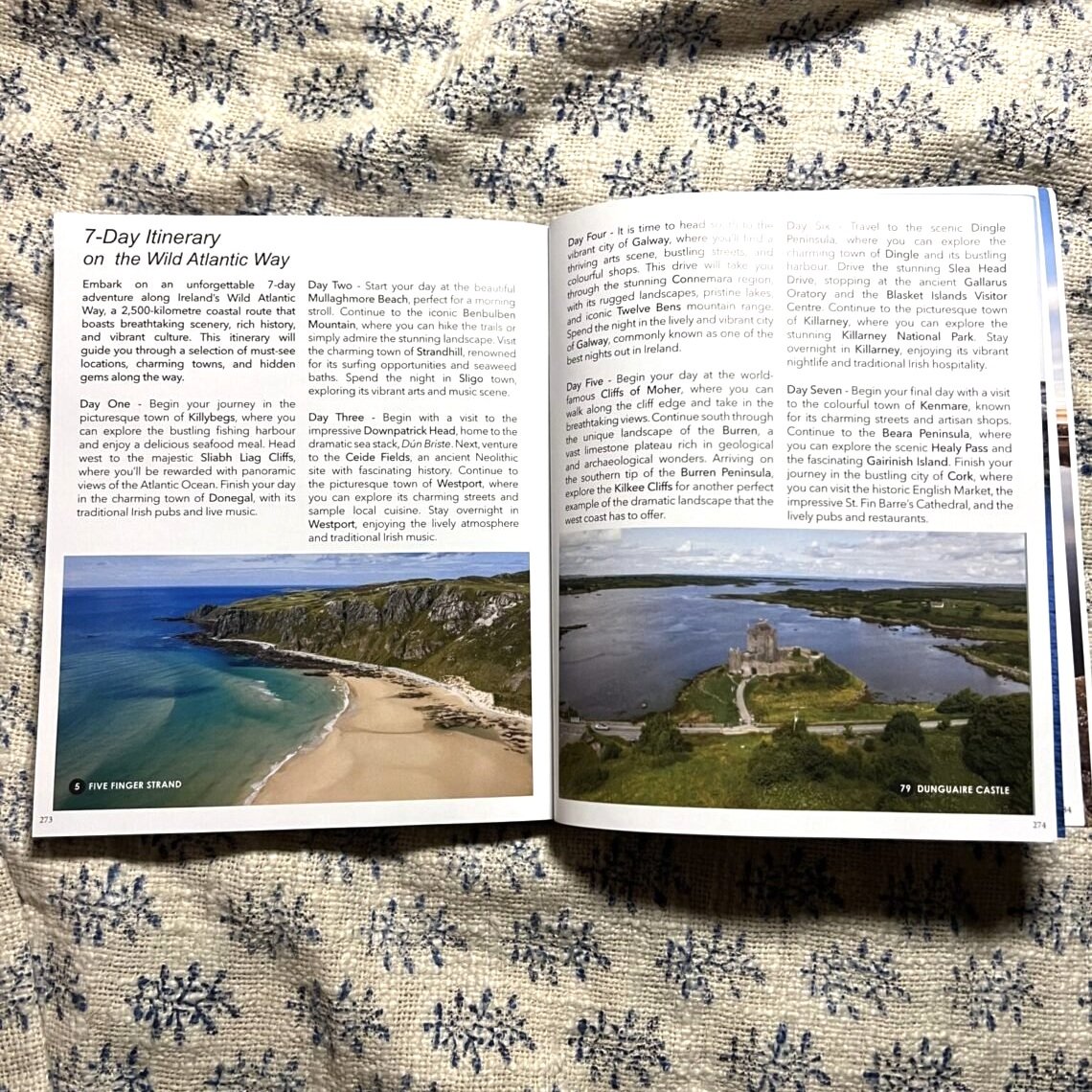
150+ of the best sights and attractions
Exact directions to each location
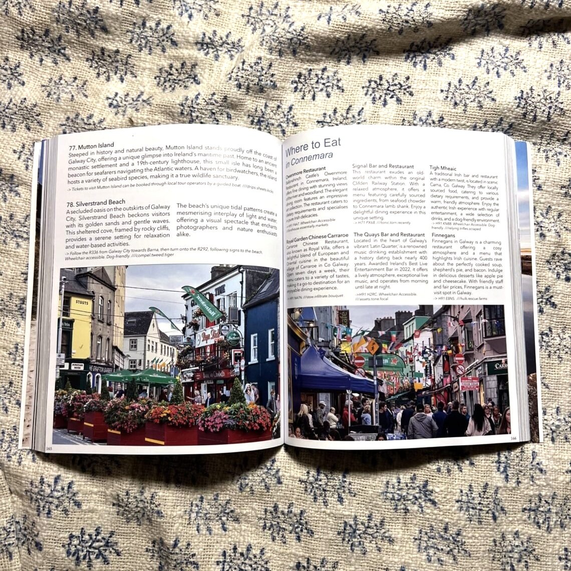
Restaurants and cafes around the route
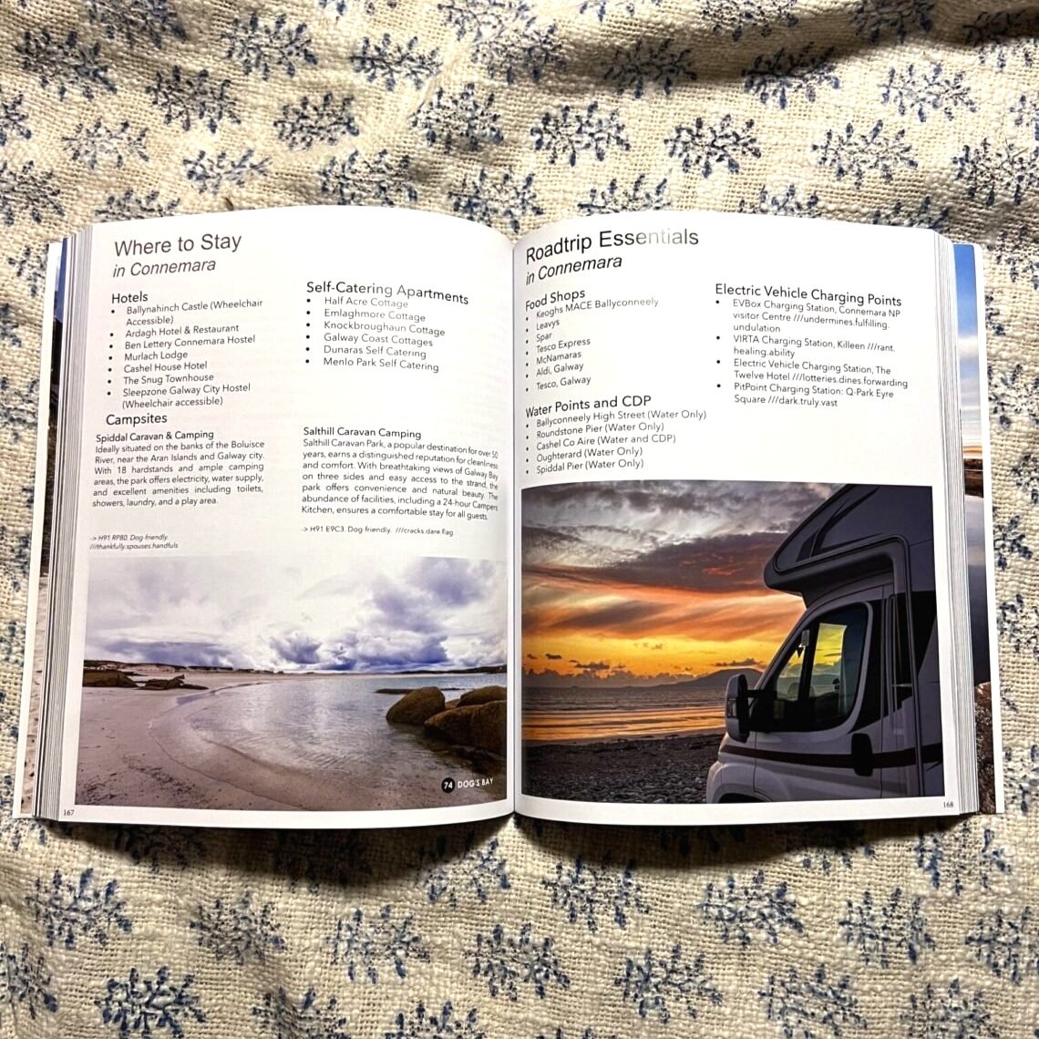
Accommodation locations - Hotels, B&Bs, Campsites
PLEASE NOTE - CUSTOMS CHARGES MAY APPLY FOR INTERNATIONAL ORDERS
✅ Exact Locations: All of the exact locations of over 150+ Sights and Attractions, as well as Accommodation, Restaurants, Campervan Water and Waste Facilities, Electric Vehicle Charging Points, Train Stations, Airports, and much more!
✅ Must-know Details: Directions to over 150+ sights and attractions across the northern coast of Scotland. Know exactly how to reach each of Scotland’s most beautiful attractions.
✅ Simple Design and Informative Layout: Plan your trip with this large and portable A1 folded map, containing all of the information that you need to know about the WAW road trip.
✅ Produced with care: During the production of this map, the authors spent years living on the Wild Atlantic Way route, turning over every rock and leaf to ensure that all the best-hidden sights and attractions that the WAW has to offer are included.
✅FREE Electronic Version: Scan the QR code inside for the FREE electronic version of the map, making navigation easy and stress-free.
✅ Perfectly Paired with Destination Atlantic Way: Pair this detailed map with the Destination Atlantic Way guidebook to make your Wild Atlantic Way journey as easy as it can be.
All researched, written, photographed, printed, and delivered with love by us ❤️
Main Features
Large A1 size folded down to a pocket-size for ease of use
Campervan water and waste facility locations
Electric Vehicle Charging Points and exact locations
150+ of the best sights and attractions
Exact directions to each location
Restaurants and cafes around the route
Accommodation locations - Hotels, B&Bs, Campsites
PLEASE NOTE - CUSTOMS CHARGES MAY APPLY FOR INTERNATIONAL ORDERS